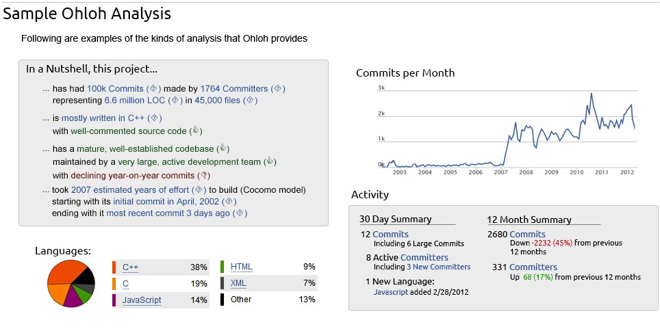
Project Summary
gvSIG is a tool oriented to manage geographic information. It is characterized by a user-friendly interface, with a quick access to the most usual raster and vector formats. In the same view it includes local as well as remote data through a WMS, WCS or WFS source.
It is aimed at users of geographic information, whether professionals or civil servants (city councils, councils, regional councils or ministries) from any part of the world (its interface is in several languages), in addition to being free.
In a Nutshell, gvSIG Desktop 1...
GNU General Public License v2.0 or later
Permitted
Commercial Use
Modify
Distribute
Place Warranty
Forbidden
Sub-License
Hold Liable
Required
Distribute Original
Disclose Source
Include Copyright
State Changes
Include License
These details are provided for information only. No information here is legal advice and should not be used as such.
This Project has No vulnerabilities Reported Against it
Did You Know...
-
...
in 2016, 47% of companies did not have formal process in place to track OS code
-
...
by exploring contributors within projects, you can view details on every commit they have made to that project
-
...
nearly 1 in 3 companies have no process for identifying, tracking, or remediating known open source vulnerabilities
-
...
data presented on the Open Hub is available through our API


